This is the month I wanted to take you hiking at South Eugene Meadows, the latest link in the Ridgeline Trail. It’s all part of a grand vision to circle Eugene with parkland paths.
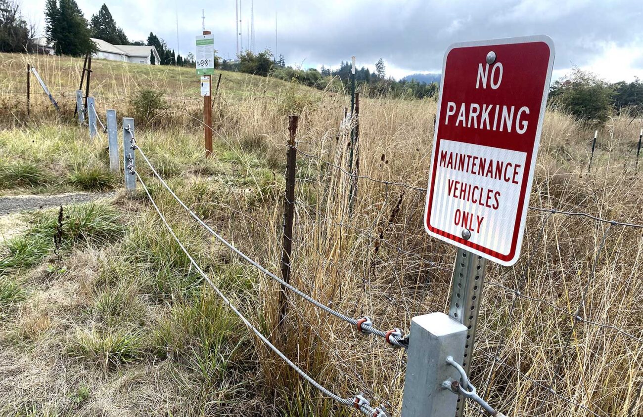
But the city of Eugene recently posted “No Parking” signs at the South Eugene Meadows Trailhead, following a puzzling request by Lane County. Bureaucratic delays have raised the cost of trail construction. The nonprofit group funding the project, the Eugene Parks Foundation, is now $100,000 short. They are struggling to raise that money, as well as $300,000 to buy another key link, the 75-acre Forest Ranch on Spencer Creek.
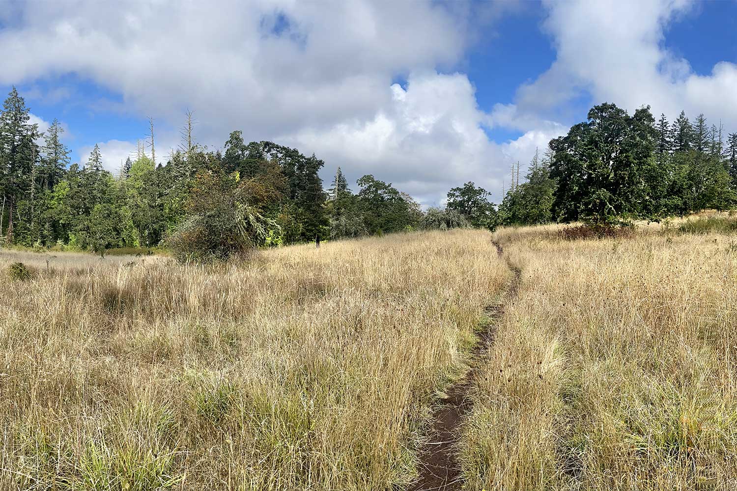
In the meantime, let me take you hiking on a quiet part of the Ridgeline Trail that is actually completed — along Blanton Ridge. This 1.8-mile path winds through Douglas-fir and oak woods from an amazingly convenient parking lot on Willamette Street to a little viewpoint park near the TV towers atop Blanton Heights, less than a mile from South Eugene Meadows.
I’ve wondered why so few people hike Blanton Ridge. The problem, I’ve decided, is that you can see Spencer Butte from the trailhead. The urge to hike up that butte instead is strong. But if you join the crowds going to Spencer Butte you’ll have to gain a wearying 1,100 feet of elevation in 2.5 miles. Blanton Ridge gains only about 300 feet of elevation, so it’s a lot easier. Admittedly, the views aren’t as panoramic.
To start, simply drive or bicycle south of downtown Eugene on Willamette Street for four miles. At a crest where the road goes under giant powerlines, turn left into a gravel parking lot with a “Ridgeline Trail” sign. There’s an outhouse here, a box with bags for dog poop and signs with the rules. Dogs have to be on leash. Bicycles are allowed on the trail to the east, but not west to Blanton Ridge.
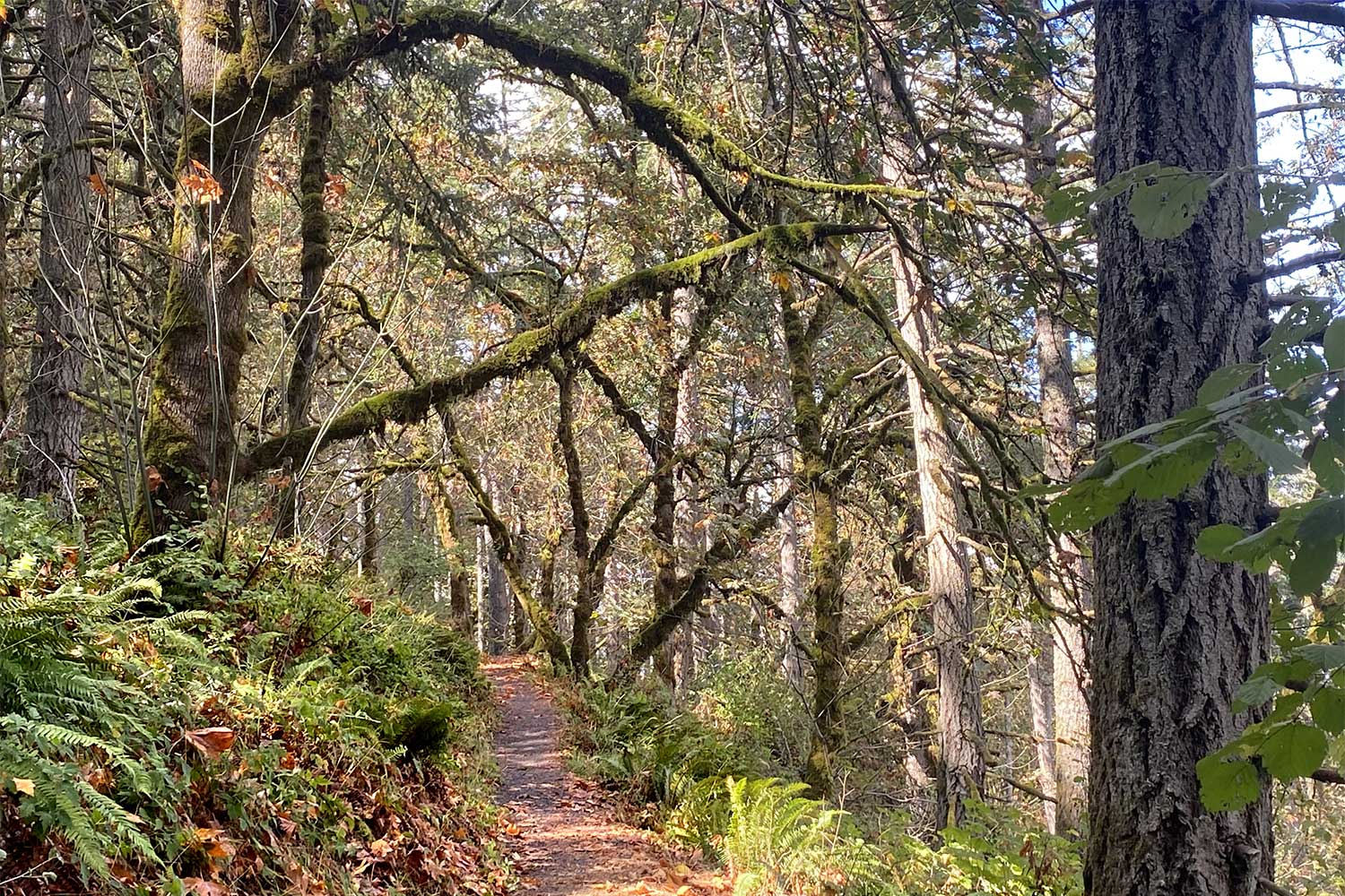
The trail to Blanton Ridge is not obvious. You have to walk across Willamette Street to a yellow gate, turn right for 300 feet, and then walk across West 52nd Avenue to find a gravel path leading into the woods. After that it’s easy — the trail climbs gradually along wooded slopes. Occasionally, you’ll glimpse a house through the woods, but mostly you’ll see forest and be alone.
After 1.4 miles you’ll reach a bench with a partial view of Eugene through the trees. This is a possible turnaround point. But I’d recommend continuing another 0.4 miles, switchbacking gradually downhill, to the little park on Blanton Road. Here you’ll find two picnic tables, an outhouse and the hike’s best view. It’s a nice spot for lunch before turning back.
In the larger scheme of things, the Blanton Ridge Trail is a delightful spur — a deadend of the Ridgeline Trail. There is no easy public route for a trail beyond it. A different route is needed to complete the vision of a trail circling Eugene. That route will traverse the city’s South Eugene Meadows property to the west.
Maybe next year I’ll be able to take you hiking there.
William L. Sullivan is the author of 24 books, including The Ship in the Ice and the updated 100 Hikes series for Oregon. Learn more at OregonHiking.com.
