Much has changed since 2005, be it globally with climate change or in Lane County with population growth. So after 14 years, Lane County’s Community Wildfire Protection Plan (CWPP) will have a makeover.
The county’s yearlong effort to modernize its wildland-urban interface fire plan opens for public input Monday, July 1.
“It’s been on our radar for some time now,” says Alex Rahmlow, fire-planning coordinator for the Western Lane District of the Oregon Department of Forestry.
“This is just the first phase of the process,” notes Patence Winningham, Lane County emergency manager. That process will include educational tools for property owners in suburban and rural areas that are heavily forested in an effort to further reduce wildland-urban interface fires.
The CWPP promotes a proactive approach for governmental agencies, public and private lands and diverse regions throughout the county. Local, state and federal agencies all are participating in the plan.
A starting point for residents can be seen at the Oregon Explorer website (oregonexplorer.info), where a detailed map viewer reveals, in fire-red blocks, the most at-risk areas of Oregon for wildland-interface fires. Most of these areas are located in southern or central Oregon.
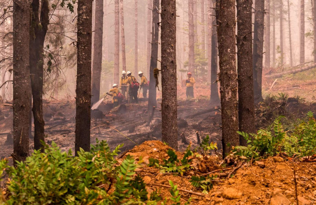
Lane County residents, though, need only to be reminded of the Jones Fire in 2017 just east of Eugene to know how close fire can come to this area. Flames torched the land and forests across the state, and the smoke that blanketed the county made being outdoors intolerable during the Labor Day weekend. The Lane Regional Air Protection Agency (LRAPA) had a difficult time monitoring the thick, dense pollutants from the raging inferno.
The CWPP covers five risk assessment areas for Lane County’s roughly 3,500 square miles of wildland-urban interface. This includes Area 1 (western Lane County/coastal region), Area 2 (Willamette Valley/Upper Siuslaw watershed area, including Eugene and Springfield), Area 3 (Coast Fork Willamette/Umpqua area), Area 4 (McKenzie River watershed) and Area 5 (Middle Fork Willamette watershed).
All these regions of Lane County have areas of concern for the CWPP planners. For Winningham, a long-time Lane County resident who is working her first wildland-urban interface fire plan, “It’s quite an eye opener.”
The Jones Fire, burning as it did just outside Lowell in Lane County, was not the catalyst that drove the updating of the CWPP, Rahmlow says. “We were already engaging on an administrative level,” he explains, but he notes, too, that “we’re seeing a large public interest” since that fire.
Winningham and Rahmlow agree that besides stitching together local, state and federal agencies for better coordination and communication, Lane County residents need to take increased responsibilities to reduce the risk of wildland-interface fires. This is the educational aspect of the CWPP that now takes center stage
“Taking ownership,” is how Winningham describes how county residents should approach this or any other fire season.
“This is not a silver bullet,” Rahmlow says of the CWPP. “A major component is prevention as well as planning. This community involvement is what collectively reduces the risk.”
This was echoed at a June 21 City Club of Eugene gathering by Steven Wallace, chief of the Mohawk Valley Rural Fire Department. He leads a department of 30 firefighters (almost all volunteers) that is responsible for covering close to 4,500 homes, and which has seen some of its personnel deployed to other areas of western Oregon and northern California in the last two years.
Wallace spoke passionately about “defensible space” in the face of “ember showers” that inevitably rain on homes in wildland-urban interface fire areas. He notes that simple preventive measures for homeowners include raking pine needles, clearing out brush and dead grass — including blackberry vines around trees —trimming trees with overhanging branches near homes, moving flower beds from next to homes and cleaning out gutters.
Additionally, Wallace wants to see homeowners have better screens in their attics and cleaner driveway and street access to homes so that emergency vehicles can more easily get to the emergency.
Public input for the Community Wildfire Protection Plan starts July 1. More information can be found at lanecounty.org.
