Frustrations, anxieties — sometimes the best way to clear your mind is to take a tough hike in the woods.
Just remember to wear boots and a good coat, because the winter that’s coming is not merely a metaphor.
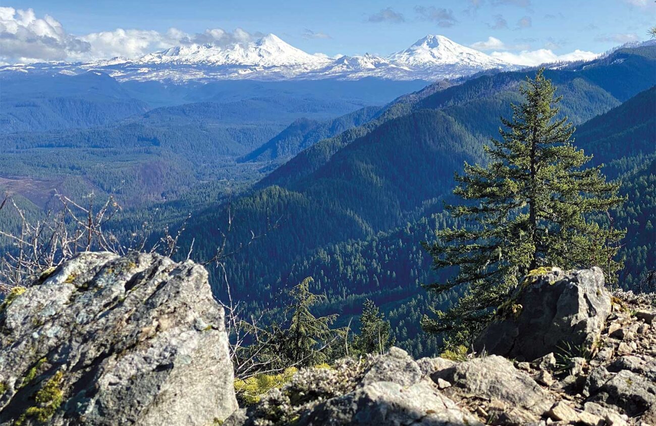
The trail I’m going to feature climbs to Castle Rock. When the clouds lift the view extends from the upper McKenzie River Valley to the Three Sisters.
A light skiff of wet snow has already fallen on the 3,808-foot summit of Castle Rock once this fall, but weather reports say the access road and trail should be clear for the coming week. Or you could wait for spring when the world is sunny again.
The shortest trail up Castle Rock gains 630 feet of elevation in 1.2 miles. Even hikers with young children usually succeed in summiting this peak. Longer routes that begin at lower trailheads are popular with mountain bikers.

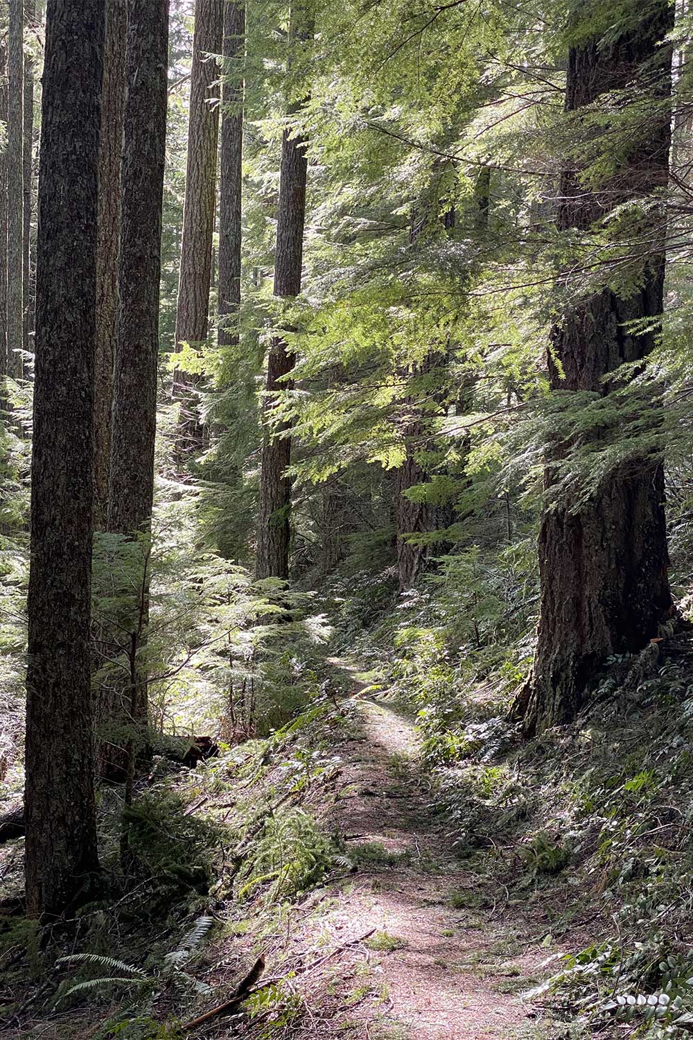
The old-growth forest along the trail is delightfully green, but the view from the summit shows why this was such a good site for a fire lookout. The 2020 Holiday Farm Fire began directly below Castle Rock, leaving a V-shaped wake of dead trees to the western horizon. Hillsides that survived that fire were striped with brown by a blaze in 2023. Sharp eyes can spot grayish zones at McKenzie Pass and Cougar Reservoir from other recent fires.
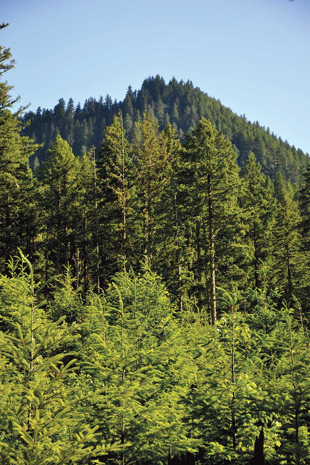
Oregon’s forests are changing as the climate warms. And yet, atop Castle Rock, most of the view is reassuringly green.
If you want, you can ride the bus to Castle Rock. Take LTD route 91 to Rainbow (check LTD.org for details). Then cross the Belknap Covered Bridge over the McKenzie River and turn left on King Road 2639 for a quarter mile to the King Castle Trailhead. From there it’s 6.7 miles to the summit, gaining 2,600 feet.
This longer route is often used by mountain bikers. And if you are on a bike, you might want to skip the steepish final 1.2-mile trail to the summit. Instead, when you reach the upper trailhead, simply zoom back down on gravel Road 480 it to complete a 10.1-mile loop.
If you have a car you can start at the easier, higher trailhead. To find it, drive McKenzie Highway 126 east of Springfield 45 miles. Beyond the village of Blue River 5 miles turn right at a Cougar Reservoir pointer onto paved Aufderheide Drive 19. At a fork after 0.4 miles keep left toward West King Road. After another 0.3 miles turn left onto paved Road 2639 for 0.4 miles. Then turn right onto O’Leary Road 480 and follow this one-lane gravel road uphill 5.8 miles to its end at a very small parking area.
After just 50 feet the trail forks. Head uphill to the right, because the fork to the left leads down to the lower, King Castle Trailhead. Remember this junction so you don’t miss it on the return trip.

The Douglas fir forest here is so dense that only the most shade-tolerant vanilla leaf, vine maple and Oregon grape can grow beneath it.
After climbing steadily 0.8 miles, you’ll pass beneath some cliffs and enter a steep, dry meadow dotted with manzanita bushes, chinkapin trees, gnarled black oaks. Near the top, keep left along the ridge to the summit.
From the old lookout site the long trough of the McKenzie River Valley is very clearly U-shaped in cross section — evidence the canyon was widened by Ice Age glaciers spilling down from the Three Sisters. Note the green links of the Tokatee Golf Course far below.
The first fire lookout here was a shelter built in 1918. It was replaced by a little cabin with a cupola on top in 1924, and then by a bigger lookout cabin in 1938. This final cabin lasted 35 years. In the 1960s it was staffed each summer by Doug Newman, an early Eugene Register-Guard outdoors columnist.
All that’s left of the old fire lookout tower are anchor bolts. Instead, you’ll find a solar panel and an antenna from Elevate Technology Group, a Beaverton firm that began supplying high-speed internet to the upper McKenzie River Valley as part of a recovery effort after the 2020 Holiday Farm Fire. The same company has installed a camera nearby. The camera watches for future fires and reports them automatically, a system that is supposed to make the staffing of fire lookouts obsolete. We’ll see.
Newman, the former fire lookout staffer, asked to have his ashes scattered here. The view at Castle Rock is for the ages.
William L. Sullivan is the author of 24 books, including The Ship in the Ice and the updated 100 Hikes series for Oregon. Learn more at OregonHiking.com.

