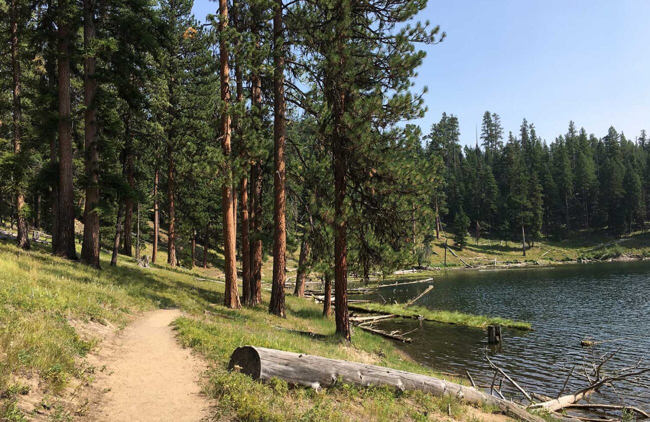
There’s a whole world of forests and mountains in eastern Oregon to visit if you’re needing a change of scenery this summer. Visiting requires a longer drive than to the Cascades, but the Blue Mountains ecoregion includes more than 5 million acres of public national forest lands, with some of the wildest landscapes and prettiest trails in the state. In the summer, water is always a draw, and two lakes in the Malheur National Forest, close to the town of John Day, make good destinations for camping and day hikes.
Magone Lake
People are drawn to Magone Lake for hiking, swimming, fishing and camping. Park-like groves of ponderosa pine, Douglas-fir and larch surround this picturesque, 45-acre lake. To the west, a large designated roadless area surrounds Nipple Butte.
Two short hikes can be done from the day-use parking area here. The Magone Slide Trail totals just over a mile. It heads uphill from the lake and passes through some recently logged forest before the trail splits. Take the right fork to view part of an old landslide, and then the left to a fenced overlook.
To hike around the lake, start out near the beach and head clockwise on the paved path. Evidence of beaver is common along the lakeshore: Look for the pointed ends of chewed trees. While circling the lake on this 1.7-mile loop, you’ll pass the campground and a boat launch, and get a view of the type of mixed conifer forests common in the Blue Mountains. Around the dryer north side, ponderosa pines, juniper and firs march down the slope. On the east side, the forest is moister, with Engelmann spruce, firs and larch. On the south end, a jumble of old logs crowds the lake’s outlet, where you cross a bridge to finish the loop.
To get to Magone Lake from John Day, go east on Hwy 26 for just over 9 miles and turn north on Keeney Forks Road (County Road 18). Follow this paved road for about 10 miles to Forest Road 3620. Turn left, go about a mile, and then turn right on FR 3618 to enter the Magone Lake Day-Use Area.
Strawberry Lake
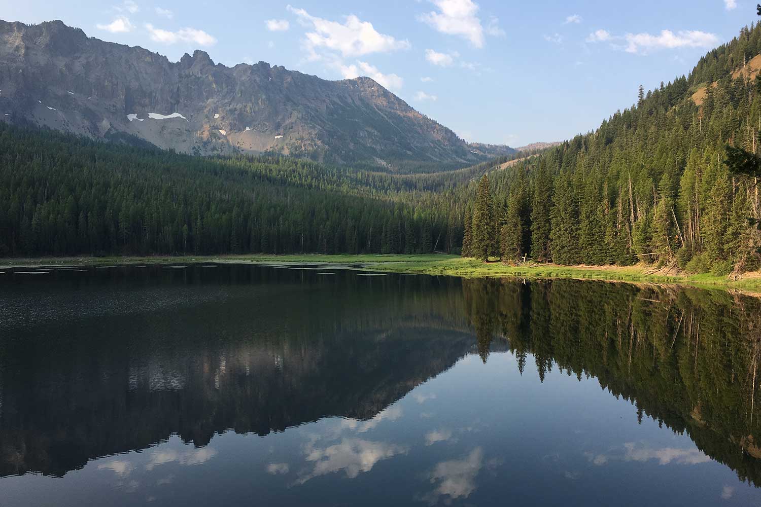
There are many lakes in the Strawberry Mountain Wilderness, but if you’re not planning a multi-day backpack trip, taking the 4-mile round trip from Strawberry Campground to (and around) Strawberry Lake is a worthy day hike.
The trail climbs gently up through a lush mixed conifer forest for almost a mile, then passes the Slide Basin Trail on the left and flattens out in an area of boulders and ancient larch trees. You’ll reach the lakeshore at 1.3 miles, and turn right to follow the loop trail counterclockwise. The loop offers some breathtaking views of the lake, which lies at 6,300 feet elevation in the glacially carved valley on the east slope of Strawberry Mountain’s peak.
The forest on the west side of the lake has an impressive diversity of trees, including Douglas-fir, aspen and spruce. At about 1.8 miles, the trail crosses a series of inlet creeks lined with wildflowers. As you turn to head up the east side of the lake, the forest changes dramatically. On this side, the slumping hillside is covered with dense lodgepole pines and larches. You’ll pass a junction and a sign for Little Strawberry Lake, then follow a stream down to some flat lakeside campsites before finishing the loop.
To get to Strawberry Lake, take Hwy 26 east to the town of Prairie City and turn south onto South Main Street. After a half mile turn left on Bridge Street at a stop sign at Depot Park, then immediately right onto County Road 60 following signs for Strawberry Campground. Strawberry Campground and the trailhead are at the end of the road, a total of 11.5 miles from US 26.
Commenting on Blue Mountains Management Plan
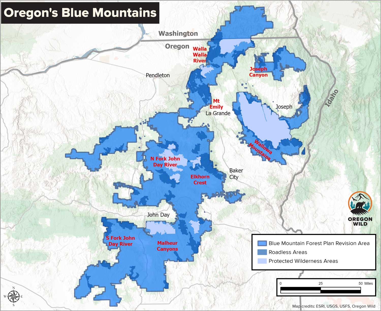
While protections like designated wilderness keep places like Strawberry Lake from being further developed with roads and logging, most of the forests of the Blue Mountains are subject to more intense human management, governed by national forest management plans. Right now, these plans are being revised, with an opportunity for the public to comment on a draft by Sept. 30.
Rather than focusing on recreation, water protection, wildlife habitat conservation, restoring healthy forests and retaining wild areas, the Trump administration-led plan revision proposes to triple current logging levels and to remove policies which have protected the last intact areas of these national forests, mature and old-growth trees, and salmon and trout streams.
More information and ways to comment can be found on Oregon Wild’s website, OregonWild.org and on the sites for the Blue Mountains Biodiversity Project, Greater Hells Canyon Council and Wild Blue Mountains.
A note about fires
Summer brings wildfires, and conditions change day to day. It’s important to look up whether fires or poor air quality due to smoke are in the area you’re heading to before you go and to have backup plans if needed. Helpful websites include Inciweb.wildfire.gov and AirNow.gov. The Watch Duty app also has up to date fire, evacuation and closure information.
Chandra LeGue of Eugene is the author of the book Oregon’s Ancient Forests: A Hiking Guide and is the senior conservation advocate at the nonprofit organization Oregon Wild.