Tired of sitting around and watching other people run (or standing and screaming for them, as the case may be)? Want to meditate on the joys of J.S. Bach among Oregon’s greenery? Lane County is not lacking in places close in or a little way out of town to take a summer walk on a break from town.
 |
| Pre’s Trail |
If you are a running fan and don’t want to travel too far and possibly miss a particularly exciting javelin throw, Pre’s Trail (aka the Steve Prefontaine Memorial Jogging Trail) makes for a nice run or pleasant saunter. The city of Eugene says the 4.07-mile trail in the 413-acre Alton Baker Park was the inspiration of Steve Prefontaine, who took his vision from visits to similar trails in Scandinavia. “After his untimely death in May of 1975, in the fall of 1975, a public-private partnership built the trail in Alton Baker Park as a tribute to him.” You can access the trail east of Ferry Street Bridge, off of Day Island Road or from either the Knickerbocker or Autzen footbridge.
Also close to town is Eugene’s Ridgeline Trail, which can be accessed by seven main trailheads at the south end of Eugene. The tallest point of the trail is the popular Spencer Butte at 2,065 feet in elevation (watch out for the rattlesnakes that can be seen sunning themselves from time to time). To get to the trailhead at Spencer Butte: From the intersection of 29th Avenue and Willamette Street, go south on Willamette for 2.1 miles. At 52nd street, continue south on South Willamette for 1.2 miles. The parking lot entrance will be on your left at the sign for Spencer Butte Park.
Also close to town and popular with locals is Mount Pisgah, located in the Howard Buford Recreation Area near the Coast Fork of the Willamette River. Park at the Mount Pisgah Arboretum ($4 for a day pass from Lane County) and wander up Pisgah’s sunny slopes and riverside trails checking out evergreen forests and oak savannas, encountering bike riders, dog walks and equestrians as you go. When you get to the top, enjoy views of the valley and run your hands over the bronze sighting pedestal made by local sculptor Pete Helzer in memory of author Ken Kesey’s son Jed, killed in a car accident in 1984. Pisgah is easily accessed from 34901 Frank Parrish Road.
Let’s hypothesize you are really done with the fairies and glitter of the Oregon Country Fair (which for most of us never gets old) and the crowds of the Olympic Trials’ fan festival. Where do you go? Head east, out Hwy. 126 or south down I-5 to Cottage Grove. There are waterfalls calling your name.
Off Hwy. 126, just an hour or so out of town, heading east from Springfield you can catch the spectacular Sahalie Falls and the equally spectacular Koosah Falls. According to the U.S. Forest Service, “These falls mark the terminus of two thick flows of basaltic andesite lava that dammed Clear Lake and moved into the McKenzie River 3,000 years ago.” Koosah means “sky” and Sahalie is “heaven” in Chinook jargon, and the falls are indeed heavenly. You can access the foaming cascades from their nearby parking lots, or take a hike along the loop trail that’s part of the McKenzie River National Recreation Trail.
Not as wide and rushing but equally impressive is Proxy Falls, which you can see from two different perspectives via a nearby short 1.5 miles loop hike accessed off of Hwy. 242, which branches off from Hwy. 126. The highway, only open from late spring through the fall thanks to snowfall in the Cascades, is itself a scenic drive and those seeking views can head all the way to the top of the McKenzie Pass to check out the Dee Wright Observatory.
 |
| Moon Falls photo by Mike Sheahan |
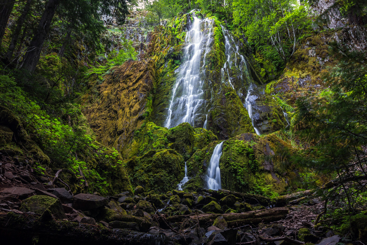
For those who want their waterfalls without so much driving, there’s Spirit and Moon Falls just east of Cottage Grove. The waters of Spirit Falls tumble down in a snowmelt-fueled veil, and the falls are a short hike from the road. Moon Falls is just a short drive further down the same road and is the waterfall opposite of Spirit Falls, as the water tumbles jaggedly down about 100 feet. To get there, exit I-5 at Cottage Grove (Exit 174) and drive east on Row River Road for approximately 19.5 miles. At the junction of Brice Creek Road #22 and Layng Creek Road # 17, turn left onto Layng Creek. Follow Road #17 for 9 miles to a junction and bear right with the main road. In less than 500 feet, you’ll find the Spirit Falls trailhead on the right. The trail goes downstream for 1/3 of a mile to the bottom of the falls.